Free open-source software. Paid stewardship. Planning work that holds up in public.
Nat Ford builds free and open-source tools for transportation planning, geospatial analysis, drone mapping, modeling, and business operations. We make money by helping agencies and companies deploy, customize, administer, and support the software when the work has to hold up in public.
Operating model
Open the reusable pieces. Support the hard parts.


Planning + software
Field evidence, open tools, practical delivery.
Custom internal software
Dashboards, portals, CRMs, workflow tools, reporting systems, and automation for any company with a real process problem.
Open-source deployment
We install, configure, host, monitor, and administer open tools so your team can use them without becoming maintainers overnight.
AI agent workflows
Agent-ready documentation, local CI loops, QA traces, source-cited outputs, and editable deliverable packages.
Projects you can inspect, fork, and build on.
Planning software · Active build
OpenPlan
Free, open-source planning software for rural RTPAs, counties, agencies, consultants, and public-interest planning teams — with projects, funding, maps, reports, evidence, and implementation work kept in one spine.
Paid support: Managed deployment, custom county/RTPA/agency editions, hosting/admin, role design, staff onboarding, GIS/data setup, agency-specific RTP/ATP/grant templates, support, and planning services.
Geospatial · Public alpha
OpenGeo
AI-native drone-to-insight geospatial platform built with Next.js, Supabase, PostGIS, MapLibre, and AI SDK patterns.
Paid support: Custom geospatial deployments, PostGIS setup, map workflows, hosted administration, data migration, and internal tool integration.
Aerial intelligence · Active build
Aerial Intel Platform
Open aerial data processing and planning-intelligence platform using an ODM-composed architecture for drone workflows.
Paid support: Drone program setup, mission processing workflows, hosted operations, QA packets, map deliverables, and staff onboarding.
Modeling · Active build
ClawModeler
AI-orchestrated, local-first transportation scenario modeling for small and rural agencies. Python engine plus Tauri desktop UI.
Paid support: Model setup, local data preparation, scenario calibration, rural agency training, support, and custom modeling extensions.
Evidence a buyer can open before the first meeting.
This is intentionally bounded: concrete source links, sample deliverables, and working public tools where they exist — not inflated case studies or confidential client claims dressed up for marketing.
What this helps decide
- Open-source links are separated from release-track and commercial-guide items so buyers can tell what is inspectable today.
- Sample PDFs and worksheets show working product/deliverable shape without implying confidential client endorsement.
- Paid implementation offers describe the actual procurement decision: deploy, customize, host, support, or run a fit audit first.
Public repository
OpenPlan source code
Inspect the planning operating-system codebase, license posture, and active build direction before a scoping call.
Source directory
Open-source project catalog
Compare public repos, release-track entries, license labels, readiness notes, and the paid support boundary in one place.
Sample deliverable PDF
Capability one-pager
A concise agency/vendor-facing summary of planning, GIS, aerial, software, and implementation capabilities. Sample artifact, not a client case study.
Public worksheet
Funding readiness scorecard
A structured intake artifact for match, scope, benefits, schedule, evidence gaps, and grant-readiness conversations.
Use the free tools. Hire us when it needs to run.
This is the business model: open-source adoption, paid operations. Less tollbooth, more trail crew — with actively maintained repos, managed deployment paths, and support that runs week to week.
Managed open-source deployment
We install, host, configure, monitor, and administer an open-source tool so your team can use it without becoming the maintainer.
Custom fork / agency edition
We fork the base project and adapt the workflows, data model, branding, permissions, and reporting outputs to your actual work.
Team onboarding and identity planning
We plan and configure the unglamorous but essential parts: roles, access, staff onboarding, training, and governance. SSO or identity-provider work is scoped only when the deployment actually needs it.
Priority support and operations
For teams that need confidence, we provide a scoped operator lane for urgent fixes, QA, uptime checks, and release triage.
Software does not replace planning judgment.
Nat Ford still does the planning work: rural transportation plans, active transportation plans, grant packages, VMT analysis, GIS, field review, and board-ready documentation. The software makes the work more reusable, auditable, and faster to adapt.
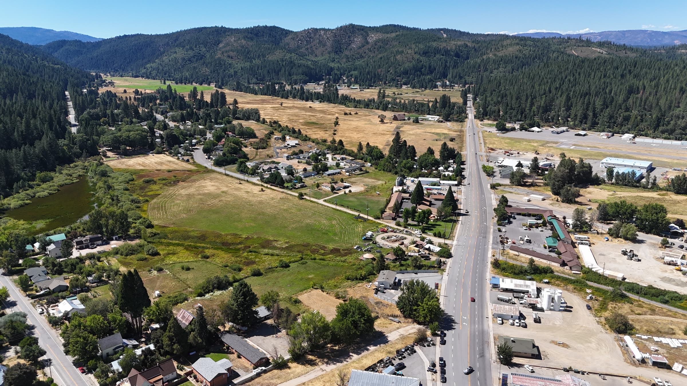
Transportation planning
RTPs, ATPs, VMT analysis, corridor strategy, implementation plans, and board-ready decision materials.
GIS, data, and modeling
PostGIS, QGIS, web maps, data pipelines, scenario analysis, and local-first modeling workflows.
Aerial intelligence
Drone mapping, photogrammetry, mission workflows, orthomosaics, terrain models, and site intelligence.
Grants and implementation
Funding strategy, grant narratives, readiness reviews, scope packaging, and delivery support.
We open the building blocks. We protect the client work.
Public code, demo data, schemas, templates, and methods can create shared value. Client data, credentials, confidential deliverables, and security-sensitive deployment details stay protected. That line is not fuzzy.
Public-sector technology should be reusable.
Agencies should not pay repeatedly for the same invisible code when open methods and shared tools can do the job better.
Ask the U.S. Urban & Transportation Planning AI
Built for planners who need decision-grade guidance fast: concrete steps, explicit tradeoffs, and funding-aware recommendations.
Your API key is sensitive. Only enable remember mode on trusted, private devices.
Leave blank to use the platform key.
Enter to send • Shift+Enter for a new line