How We Work
Capture → Compute → Communicate.
A disciplined three-stage workflow that keeps technical quality high while preserving momentum to funding and implementation.
Built for decision velocity
Step 01
Capture
Assemble field and context data quickly, with collection discipline and traceability.
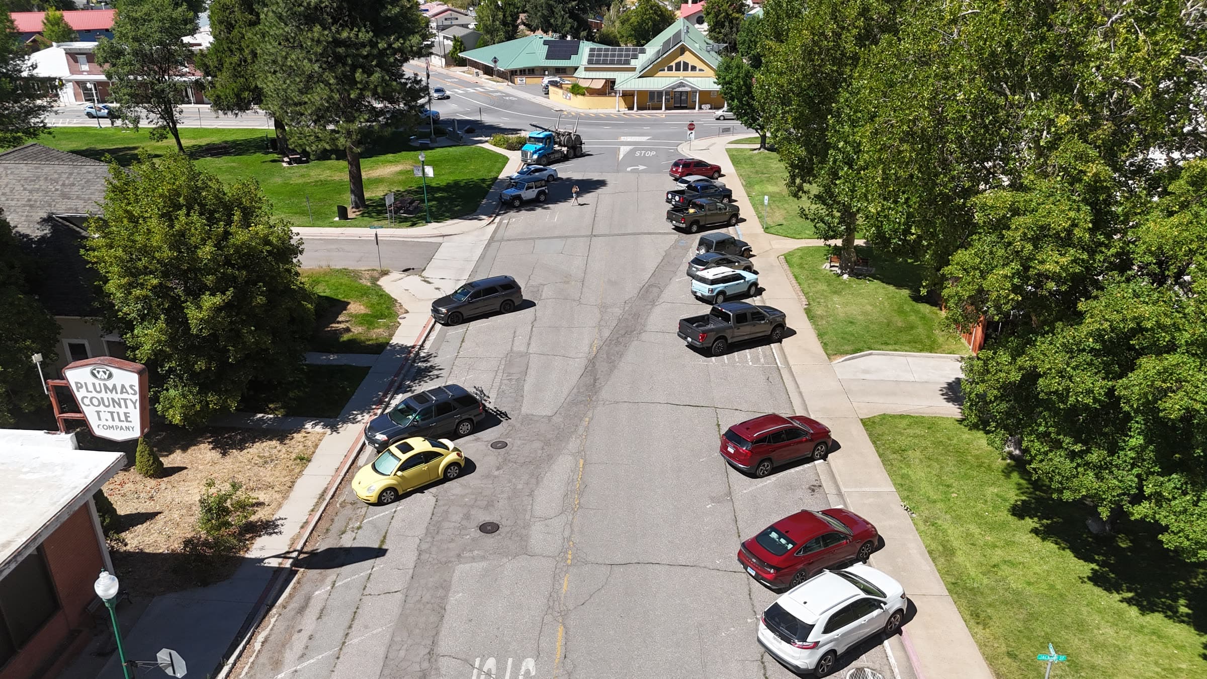
- Flight and field prep with risk checks and task clarity
- Imagery/data collection aligned to analysis objective
- Constraint mapping: policy, land use, safety, and funding context
Step 02
Compute
Turn raw inputs into defensible analysis with reproducible methods.
- Photogrammetry and GIS processing with documented assumptions
- Spatial diagnostics for access, safety, equity, and feasibility
- QA checks and versioning before stakeholder-facing output
Step 03
Communicate
Translate technical findings into fundable, board-usable decisions.
- Maps, narratives, and visuals designed for mixed audiences
- Funding and implementation framing tied to real constraints
- Clear handoff package for next-step execution
Want this process applied to your project?
We’ll scope a delivery path with milestones, review points, and funding relevance from day one.
Discuss Your Project